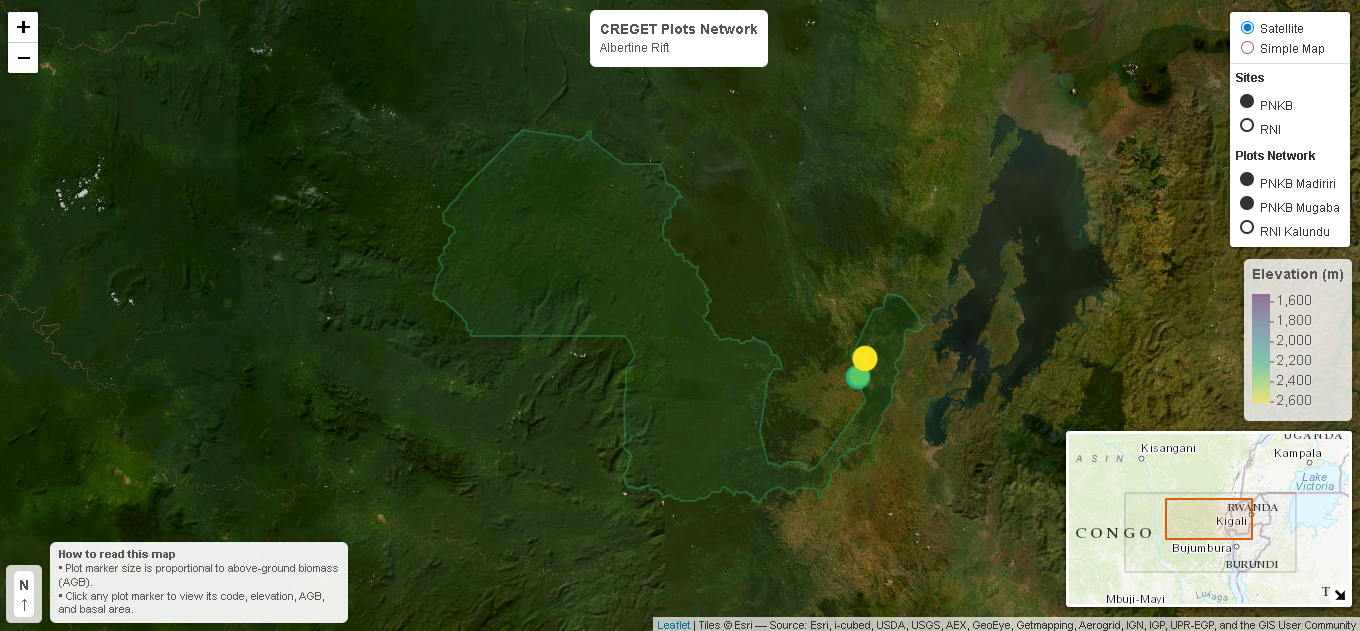
CREGET presents an interactive map of its Albertine Rift research network across Kahuzi-Biega National Park (PNKB) and Itombwe Nature Reserve (RNI).
👉 Discover the map
This platform displays long-term ecological plots along elevation gradients, advancing evidence-based understanding of tropical forest dynamics and biodiversity patterns. The project was implemented with support from the UNESCO TWAS SG-NAPI project and the CARB ASPIRE Grant. CREGET acknowledges this critical investment.
These plots were established during intensive fieldwork conducted in June 2024 in RNI and August–September 2024 in PNKB. Built through sustained scientific effort, the platform highlights key indicators including aboveground biomass, forest structure, and spatial variability. It offers a transparent and accessible resource for stakeholders engaged in ecosystem monitoring.
By linking research to application, this map supports informed conservation planning and climate adaptation strategies. The plot network strengthens collaboration between science (CREGET) and policy (ICCN), through close partnerships with PNKB and RNI, contributing to sustainable forest management in the Albertine Rift region.